


Artusa Engineering and Design Department
Global Provider of Professional Engineering and Design Services
Equipped with the knowledge and latest standards & technologies
Başınıza ne düşmezse bizden bilin
Artusa Engineering and Design Department
Global Provider of Professional Engineering and Design Services
Equipped with the knowledge and latest standards & technologies
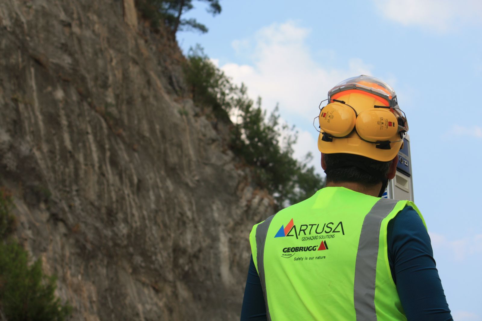
Artusa Design and Engineering Department is built around the team of talented senior level engineers who equipped with the latest technology to offer real solutions.
A wide range of services:
An experienced qualified team using modern systems & international standards while providing high-quality services and considering principal customer satisfaction are the main key factors that led us to grow rapidly.
Aerial Survey
Innovation in Science and Technology
Scope:
Today's advanced drones are equipped with 3D laser scanners that are used to understand and interpret the shape of things such as buildings or land by collecting precise clouds of points to create digital 3D models. These instruments are used by surveyors to provide data to designers to accurately visualise the land they are going to design on.
Terrestrial Surveying
Scope:
The main surveying instruments in use around the world are the theodolite, measuring tape, total station, 3D scanners, GPS/GNSS, level. To determine proper data and for more accuracy, Artusa surveying department uses the latest technology of land surveying.
Field Tests
In-situ field testing consists of measuring the rock and soil parameters directly from job sites. This kind of method lets designers determine theirs consider parameter with the minimum touch to the specimens and with more accuracy.
Scope :
Laboratory Tests
Investigating the physical and mechanical characteristics of soils and rocks are the key parts of one proper design. To achieve this goal Artusa with the cooperation of well-known laboratories trying to carry the most accurate tests.
Scope:
Geological Studies
A detailed and accurate knowledge inventory of geology is an essential part of construction and hazard analysis. The local geology of an area is important when planning a major construction. The full knowledge of geology increases the strength, stability, and durability of designs.
Scope:
Geotechnical Design
The fundamental elements of the design process include the establishment of objectives and criteria, synthesis, analysis, construction, testing and evaluation. Thus, the prime purpose of engineering design is to apply scientific knowledge to the solution of technical problems. Natural hazard protection is an important consideration among the different options so the proper design to decrease natural disasters.
Scope:
OUR CLIENTS
Public Authorities
• Local and Regional Authorities
• Ministries and Government Departments
• Public Agencies
Private Sector
• Investors and Developers
• Industrial Groups. Construction Companies
• Service Groups
· EPC and Turnkey Contractors
• Operators
• Other Engineering Consultancies
• NGOs
An International company with a professional partner across the World during recent years, Artusa, expanded its activity internationally to the Middle East, Africa, Europe, and East Asia. For the aim of this goal, Artusa has collaborated with well-known international companies.
Artusa has offices in Turkey, Oman, and Switzerland.
causes of rock falls, Rock slope stabilization programs, Planning stabilization programs, Rock slope inventory systems, Hazard rating criteria, Database analysis of slope inventory, Selection of high priority sites, Selection of stabilization measures, Stabilization by rock reinforcement, Shear keys, Rock anchor, Reaction wall, Shotcrete, Buttresses, Drainage, Shot-in-place buttress, Stabilization by rock removal, Resloping and unloading, Trimming, Scaling, Rock removal operations, Protection measures against rock falls, Rock fall modeling, Ditches, Barriers, Rock catch fences and attenuators, Draped mesh, Warning fences, Rock sheds and tunnels, Types of slope movement, Initial response, Regressive and progressive movement, Long-term creep, Surface monitoring methods, Crack width monitors, Surveying, Laser imaging, Tiltmeters, Global positioning system, Synthetic aperture radar, Sub-surface monitoring methods, Borehole probes, Time–domain reflectometry, Inclinometers, Data interpretation, Time–movement and time–velocity plots, Slope failure mechanisms, Rock Slope Protection, Slope Roughening, Terracing, and Rounding, Mulches, Erosion Control Blankets, Mats, Anchor Block Slope Stabilization, Anchors, Gabions, Micropile Slide Stabilization System, Sculpted Shotcrete, Secant or Tangent Piles, Sheet Piles, Slurry Walls, Soil Nailing, Soldier Piles, Lagging, Buttress support, Meshing, Netting, rockfall barriers, Geobrugg, Oman, GCC, Ghana, Turkey, contractor, Soil Slope Collapse, Rock Slope Collapse, Landslide, Road Slip, Debris Flow, River Erosion, Coastal Erosion, Road Slope Disasters, rockfall protection, slope stabilisation, rock bolting, rock scaling, rope access, rockfall mesh, steel grid netting, drill and blast, high tensile mesh